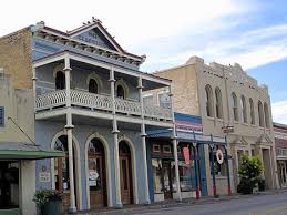
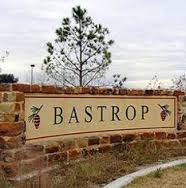


Welcome to Bastrop County!
Bastrop County is located approximately 30 miles southeast of Austin, and is a part of the Austin-San Marcos Metropolitan Area. The area was settled in 1829. The county was created in 1836 and named for Baron de Bastrop, who aided Moses Austin and the Anglo colonists in the settlement of Texas. Bastrop County was among the original ten counties established by the Republic of Texas in 1836. The population of Bastrop County in 2000 was 52,561. Bastrop County is a rural county which lies within the Rural Capital Area JTPA service delivery area and the Capital Area Quality Workforce Planning region.
Even though congressional districts and counties have boundaries which overlap, the county falls with the 28th Texas Congressional District , the 18th Texas Senatorial District , and the 14th District of Texas of the U. S. House of Representatives.
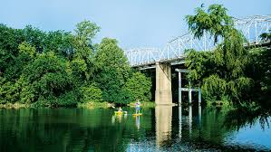
The county consists of 895.9 square miles in area, or 574,074 acres. Rainfall in the county averages 36.5 inches per year compared to the Texas average of 21 inches per year. Bastrop County is the center of the Lost Pines region. Its rolling hills and sandy loam soils are the home of Bastrop State Park, Buescher State Park, Lake Bastrop and three 18 hole golf courses which bring tourists to the county. Bastrop County’s economy is primarily based on agriculture.
The average fall freeze date in Bastrop County occurs November 16, with the last frost date occurring approximately March 9. The average growing season is 268 days. In the average year, the county will receive 650 to 750 chilling hours. Chilling hours is the number of hours of winter chilling below 45 degrees Fahrenheit and above 32 degrees Fahrenheit which is necessary for the normal bloom and shoot growth of fruit crops. The average rain fall is 36.86 inches per year.
